
Hiking possibilities
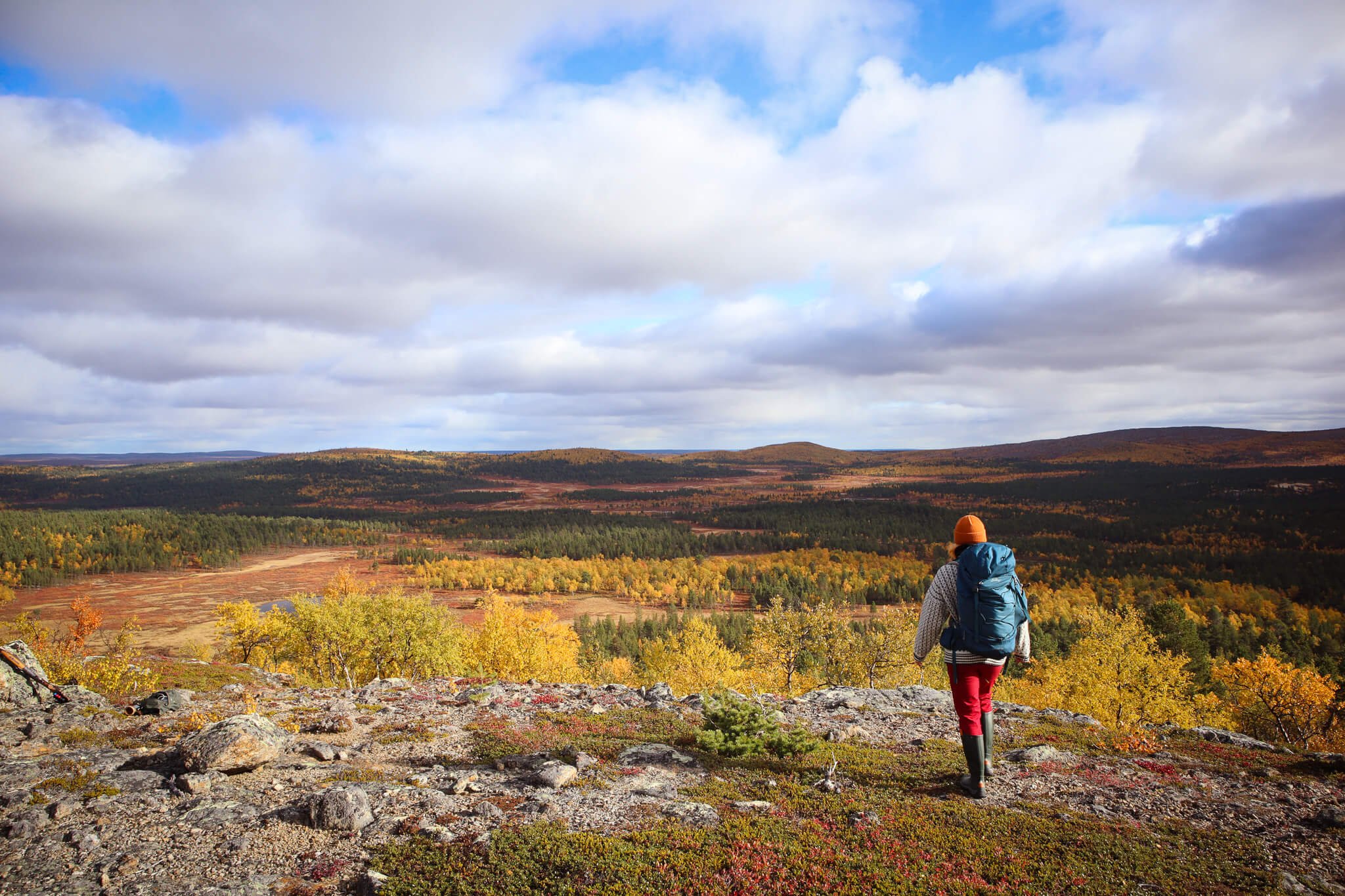
Great short and long hikes
The surroundings of Giellajohka offer great opportunities for short or slightly longer day trips. Along the paths leading directly from Giellajohka's yard you will find a unique mountain landscape, a 500-year-old pine forest, a beautiful wilderness river and an old hermit's hut. And if you want to explore even more opportunities, there’s plenty of them within a short car ride.
You can explore our surroundings from this free Finnish online map service called Retkipaikka.

A trip to a hermit's hut
Did you know that a hermit has lived next door to Giellajohka? He has passed away a long time ago, but the hut is still up.
The hermit's hut is an exciting day trip destination where you can see a glimpse of his ascetic life. The goods of the hermit who lived there can still be found in the chamber, and we hope that you will honor his memory by leaving the goods in their place. In this way, the Descendants will hopefully be able to see this rare place in as original a condition as possible.
The path to the hermit's hut is a fairly easy ring route with a total length of about 3 km. It is worth reserving 1,5-3 hours for this according to your own taste.

Kielaniemi's 500-year-old pine forest
There’s a handsome pine forest nn the other side of the Kielajoki River. It is the last pine forest before the tundra begins if going straight north.
In addition to trees and plants, if you get lucky you may come across a moose, arctic birds such as capercaillies or willow grouses, foxes, hares and, of course, reindeer in the woods. And don’t worry, none of these are dangerous for a human.
It is an absolutely great place for a picnic by campfire or a soothing walk along the river and in the woods. The pine forest can be seen from Giellajohka's yard right on the other side of the river, and there is plenty to explore for a whole day.
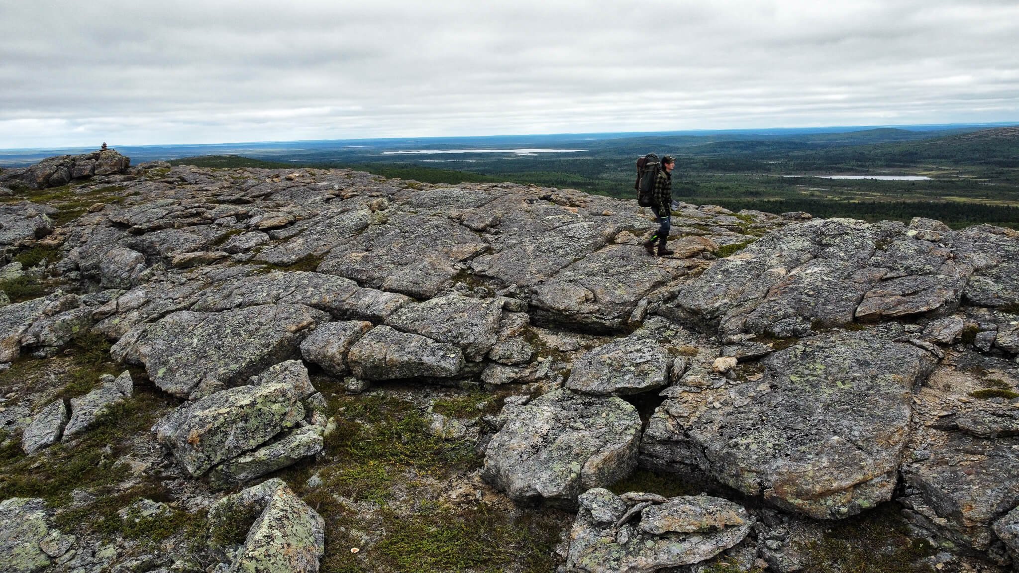
The mountain landscape from Kiälláávääri
Kiälláávääri is a higher hill found near Giellajohka, which offers spectacular views of the Muotkatunturi wilderness area. There is no marked path, but the terrain is relatively easy to walk on and there is no chance of getting lost there or coming back. So you can experience the joy of a pathless hike safely in beautiful terrain.
It is a really great place to admire, for example, the midnight sun and the beautiful summer Lapland. Since Kiälláavärri is quite a bit above the ground level, mosquitoes aren’t that big of an issue.
On the way to or from the top of Kiälláávääri, there is a hut where you can make a campfire. It is worth grabbing a snack, as the trip to the top of Kiälláávääri is about 7-8 km back and forth and it is worth taking 3-5 hours hours for this.


Gákcavárri
About 10 km from Giellajohka is a village of Kaamasmukka, located right next to the Gákcavárri fell. Gákcavárri is a large and handsome mountain and the three large peaks create a unique profile for it.
There are a few paths to Gákcavarri that are not officially marked. However, the terrain is easy to navigate and the route to the fell starts directly from the village of Kaamasmukka, so the risk of getting lost is very small again. Of course, when leaving for the fell, you must always have a map and navigation skills with you, but this is a fairly easy destination outside the popular official trails.
A roundtrip for the nearest peak of Gákcavárri is approximately 8 kms and it is worth to reserve 3-5 hours for the hike and magnificent scenery.